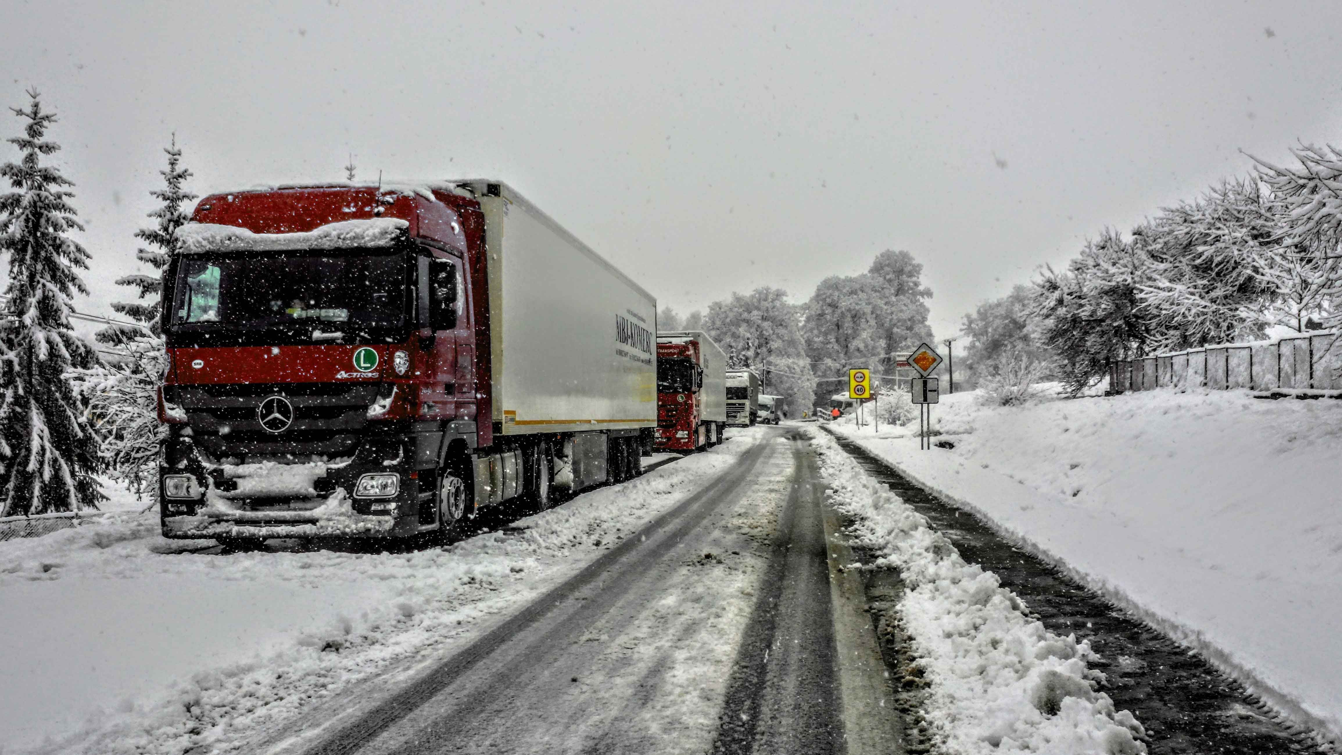
According to Freightwaves:
As Texas and other Southern states continue to thaw from last week’s major winter storms, backlogged freight should gradually find its way in and out of those areas.
Meanwhile, drivers will have to chain up as winter storms hit the Northeast and Northwest this week.
Northeast
Snowfall will spread across the Northeast Monday, including portions of the I-95 corridor. This won’t be a major storm, with large metropolitan areas like Philadelphia, New York City and Boston receiving only an inch or two. A mix of rain, snow and freezing rain will make roads, especially some bridges and overpasses, extra slick in Baltimore and Washington.
Most areas west of I-95 will see up to 5 or 6 inches of snowfall, with locally higher amounts downwind of lakes Erie and Ontario. This includes places mainly in western New York, impacting I-81 and I-90. Lake-effect snow showers will linger there on Tuesday and possibly Wednesday too.
Northwest
The Cascades and northern Rockies will get pounded by additional periods of heavy snowfall through Friday. Wednesday may be the only day this week with little to no snowfall.
Snowfall totals in the higher elevations could reach 36-plus inches, which isn’t debilitating. But drivers will have to slow down as they travel over mountain passes.
Winds will be strong enough to produce blowing snow and possible whiteout conditions Monday in western Montana. The National Weather Service has issued a blizzard warning for the northern Rocky Mountain Front, including the Logan Pass area. Winds there could gust as high as 75 mph.
Even in areas of Montana where snowfall doesn’t occur, winds will pose a high risk of rollovers. Gust will hit 60 to 80 mph across most of the state Monday.
Some lower elevations in the Cascades and northern Rockies may get drenched with up to 4 inches of rainfall. Mudslides and localized flooding could lead to roadblocks.
By: LFS Marketing
February 23, 2021