According to Freightwaves:
The parade of snowstorms that began in the Northwest several days ago marches on. Truckers will have to chain up heading through high elevations of the Cascades, Sierra Nevada and northern Rockies this week as periods of heavy snowfall and gusty winds continue.
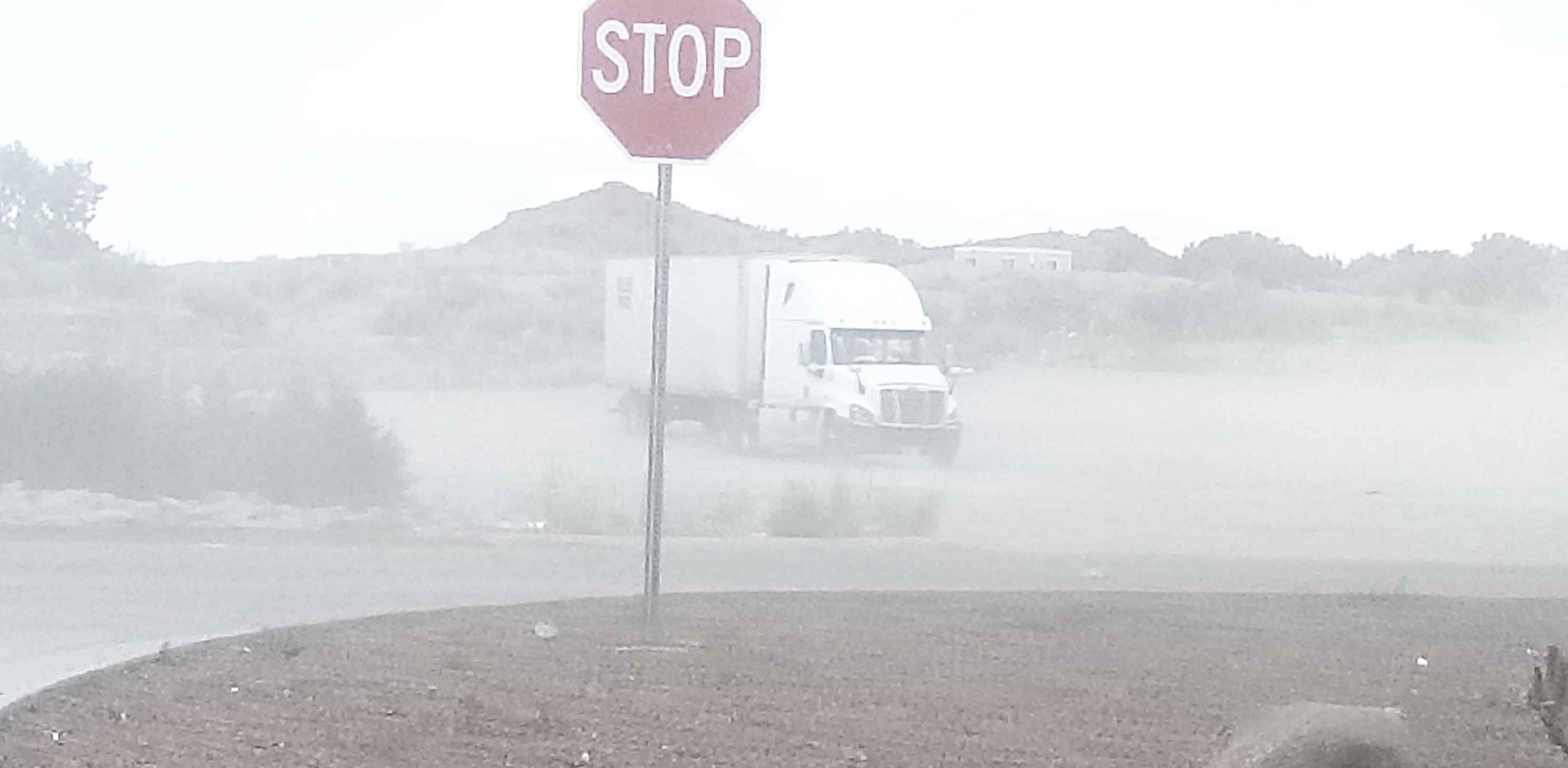
Look for moderate to locally major disruptions in supply chains, freight flows and business operations as three strong cold fronts slam the region. Delays in surface and air transportation are likely.
Included in the potential impact zone are portions of I-80, I-84 and I-90 in Washington, Oregon, California, Idaho and Montana. Trouble spots include but are not limited to Snoqualmie, Lookout, Stevens, Donner, Carson and McKenzie passes.
According to the National Weather Service, some places received more than 24 inches of snowfall over the weekend. Some areas could see 12 to 24 inches of new snowfall Monday through Tuesday, followed by at least another 12 inches by the end of the week. Heavy accumulations will also hit portions of southern Alberta and British Columbia, Canada. Occasional wind gusts of 40-plus mph will produce blowing snow and whiteout conditions in some spots.
Meanwhile, in the lower elevations and valleys, rain may be heavy at times. Localized flooding will be possible from Vancouver, Canada, to Seattle and Portland, Oregon.
As of Monday morning, it looks as if the rest of the country will be spared from major snowstorms this week. Forecast updates will be posted on the FreightWaves website and social accounts.
--
LFS keeps you updated with the latest news, if you need additional information about our freight shipping solutions, contact us!
Follow us on Linkedin
For cargo insurance experts, please contact Skholl, our partner to avoid any freight damage.
--
By: LFS Marketing
January 5, 2021